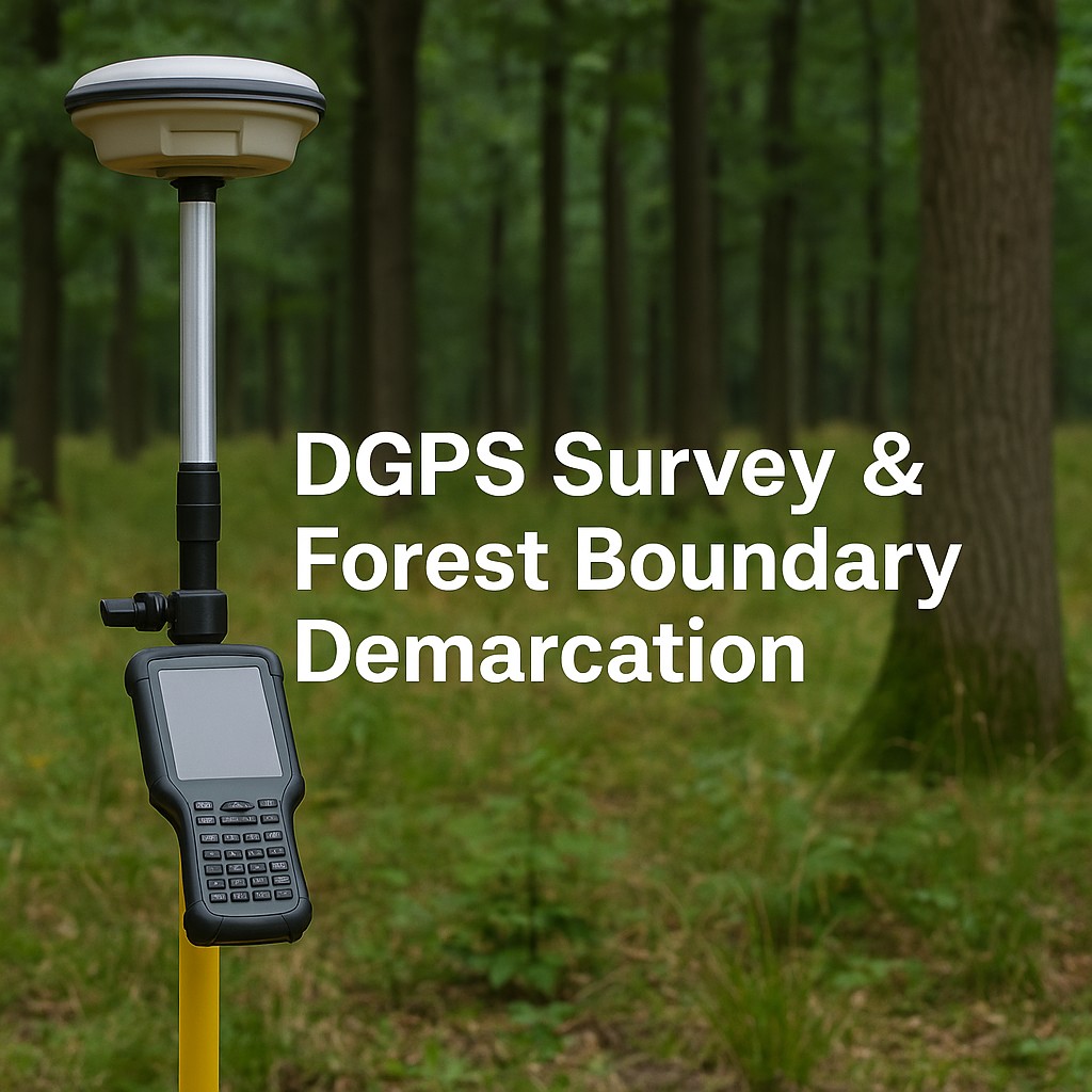
DGPS Survey & Forest Boundary Demarcation
Gujarat Forest Department
High-accuracy DGPS surveys for multiple forest ranges with updated geo-referenced forest maps. Digital boundary demarcation for working plans and administration. Strengthened transparency and compliance across large forest landscapes.

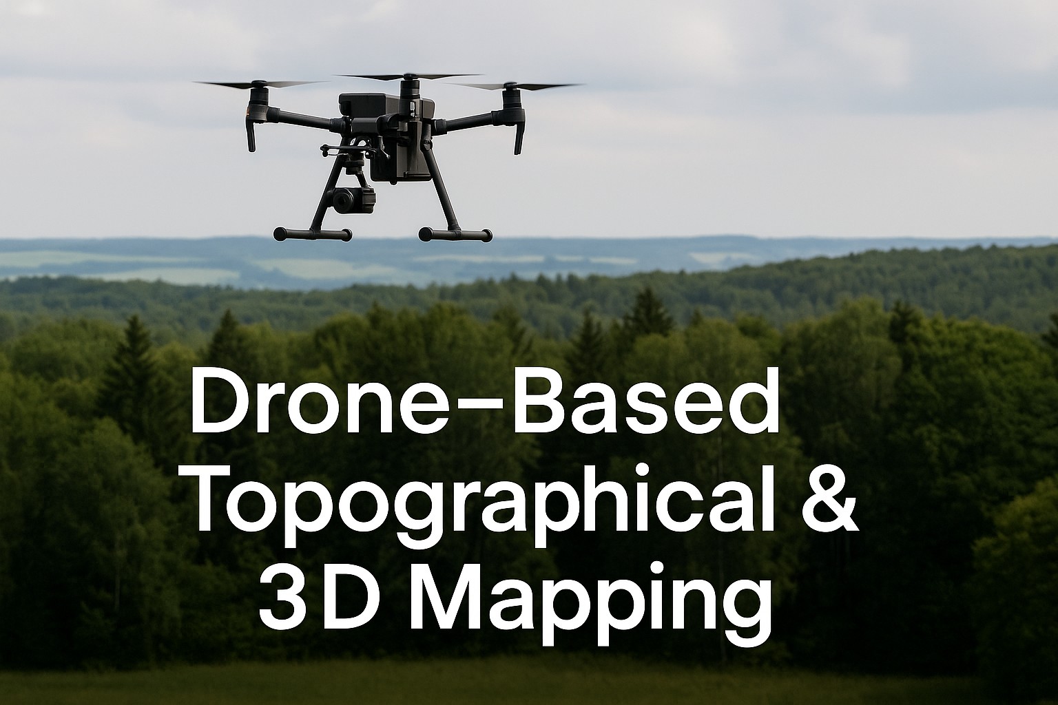
Drone-Based Topographical & 3D Mapping
Gujarat Forest Department
High-resolution drone survey with ground control points, 3 cm GSD imagery for eco-park and development sites, and 3D topographical models to support design and planning.
LiDAR Survey & Terrain Analysis
Gujarat Forest Department
High-resolution LiDAR surveys for diverse forest landscapes with DEM, slope, drainage & watershed generation. Identification of suitable sites for soil & water conservation structures with orthomosaics & terrain models for scientific planning.
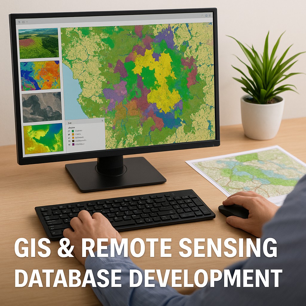
GIS & Remote Sensing Database Development
Gujarat Forest Department
Creation of comprehensive GIS databases for multiple forest divisions with digitization of thematic layers: boundaries, infrastructure, hydrology, fire zones, soils, mining areas. Preparation of management, cadastral & working plan maps with digital spatial database supporting long-term forest planning.
Wetland Mapping & Monitoring (RS-GIS)
Gujarat Forest Department
Time-series satellite analysis of seasonal water fluctuations with wetland catchment mapping & water level digitization. Proposals for habitat-enhancing structures (islands, mounts) and conservation-focused monitoring through RS-GIS.
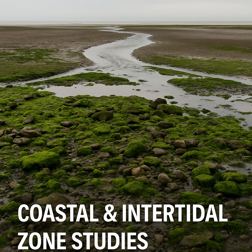
Coastal & Intertidal Zone Studies (RS-GIS)
Gujarat Forest Department
Digitization of tidal creeks, vegetation, and coastal features with shoreline change analysis using 30+ years of satellite data. Planning for eco-friendly fishbone structure development and support for sustainable coastal and mangrove management.

Geo-referencing & Digitization of Mining Blocks
Gujarat Mining Department
Geo-referencing and digitization of mining leases/blocks/saved cases with preparation of cluster maps in compliance with statutory orders. Multi-district coverage across North & Central Gujarat.

Drone + DGPS Topographical Survey of Quarry Leases
Gujarat Mining Department
High-resolution drone survey with DGPS integration for volumetric assessment of waste dumps within quarry leases. GIS-based lease-wise map preparation for quarry management.

Topographical Survey & Geological Exploration
Gujarat Mining Department
Identification and survey of mineral-bearing areas with DGPS-based topographical mapping & boundary demarcation. Geological exploration including sampling, quality testing, and resource estimation with preparation of exploration reports supporting mineral block e-auctions.

Scientific & Systematic Mine Planning
Gujarat Mining Department
Preparation of mining plans, closure plans, and modified mine plans with topographical survey using DGPS and geological mapping. Mineral sampling, quality testing, and resource estimation for sustainable mine planning aligned with environmental, mining, and legislative requirements.