Empowering Decisions with Geospatial Intelligence
DH Geo Consultancy delivers expert geological, GIS, and remote sensing solutions to government and enterprise clients, driving informed decision-making and sustainable growth.
DH Geo Consultancy delivers expert geological, GIS, and remote sensing solutions to government and enterprise clients, driving informed decision-making and sustainable growth.
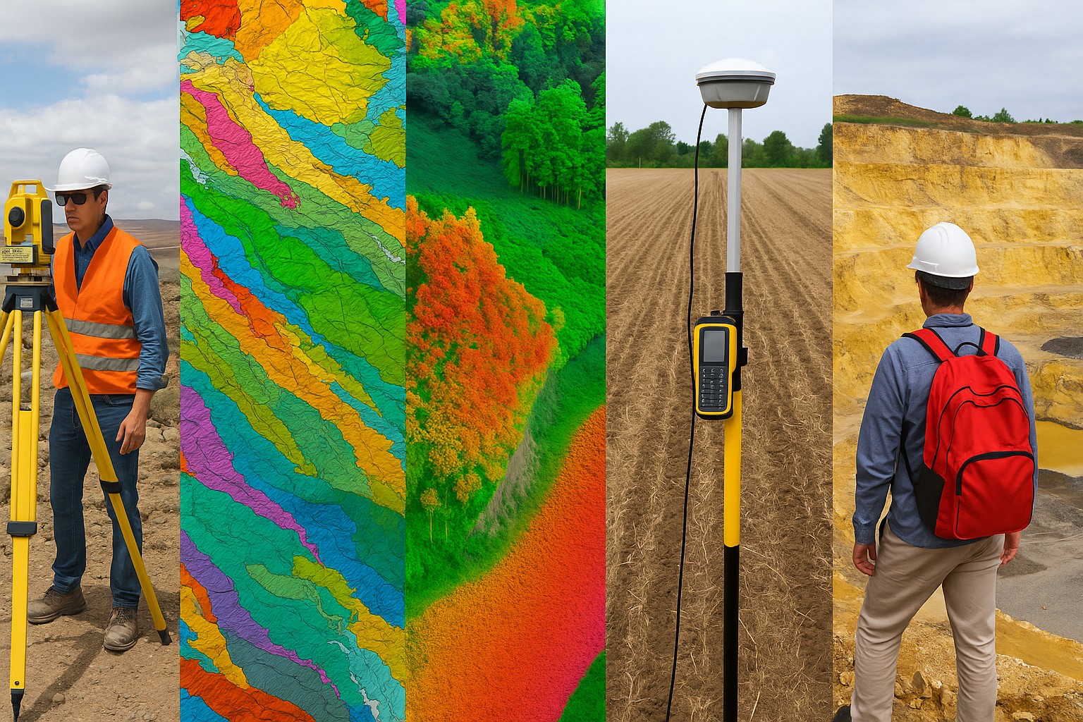
Comprehensive geological and surveying solutions for diverse industries
Comprehensive geological mapping, mineral exploration, and subsurface analysis using advanced techniques.
Learn MoreSpatial data analysis, mapping solutions, and satellite imagery interpretation for informed decision-making.
Learn MoreCustom web applications, mobile apps, and secure portals for interactive spatial data management and visualization.
Learn MoreHigh-precision 3D mapping and topographic analysis using Light Detection and Ranging technology.
Learn MoreAccurate positioning and boundary demarcation using Differential Global Positioning System technology.
Learn MorePrecise measurement of horizontal and vertical angles, distances for construction and engineering projects.
Learn MoreWater resource assessment, groundwater exploration, and hydrological modeling for sustainable development.
Learn MoreGeophysical investigation using VES for groundwater exploration, aquifer delineation, and subsurface characterization.
Learn MoreComprehensive forest monitoring including NDVI, NDWI, EVI analysis, DGPS survey, and GIS mapping for forest management.
Learn MoreComplete mining consultancy including feasibility studies, resource estimation, and auction support services.
Learn MoreDetailed terrain mapping, contour surveys, and elevation data collection for engineering and construction projects.
Learn More